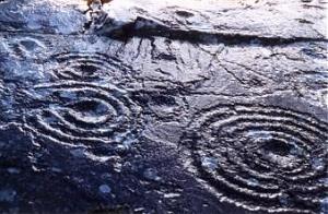
Derrynablaha, county Kerry
V 762 767 to V 767 776 - Sheet 78
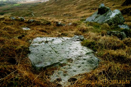
The Derrynablaha rocks are to be found 1.5 km E of Lough Brin,
scattered over a wide area to the E and W of the road through the beautiful
Ballaghabeama Gap,
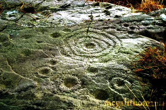
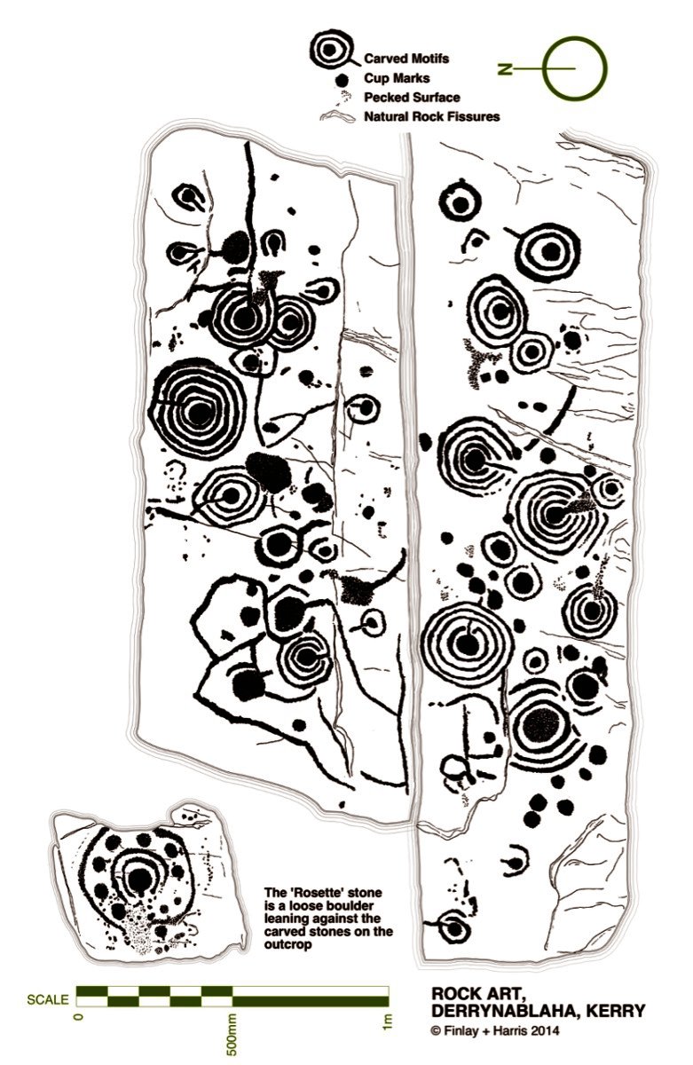
and surrounding the only inhabited house (in 1975) for miles, are over 20
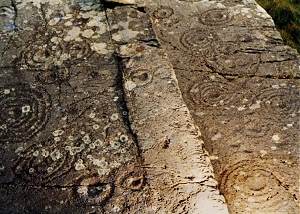
decorated rocks.
They are very difficult to find on the boulder-strewn hillside,
but perhaps the easiest to locate are those at V 762 774,
found by following the S branch of a stream from the bridge about 300 metres
S of the abovementioned farmhouse,
then up the hillside for about 400 metres.
|
|
 |
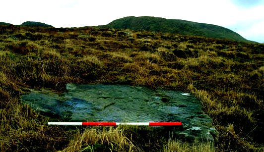
The photos below
were taken 26 years later by Ian Thompson in January 2005.
The rod is one metre long.
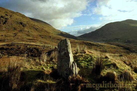
The picturesque standing-stone at V 766 775.

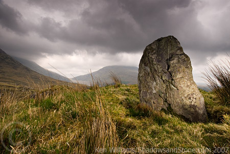
also photographed by Ken Williams.
The following pictures were taken in 2007 and 2008 by Ken Williams
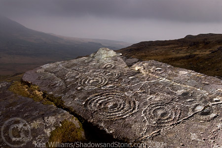
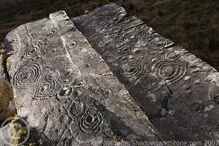
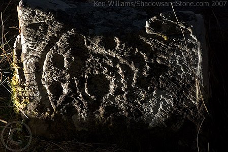
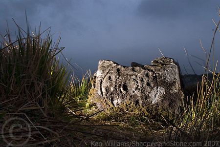
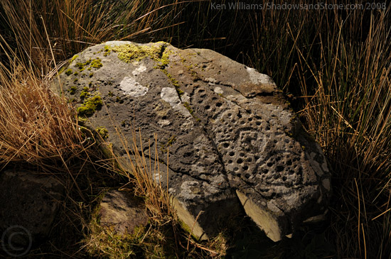
V 764 767
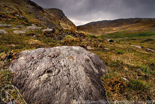
V 76615 77599 (GPS)
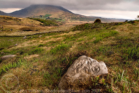
V 76703 77430 (GPS)
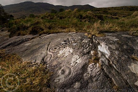
V 76682 77408 (GPS)
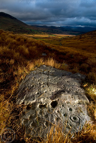
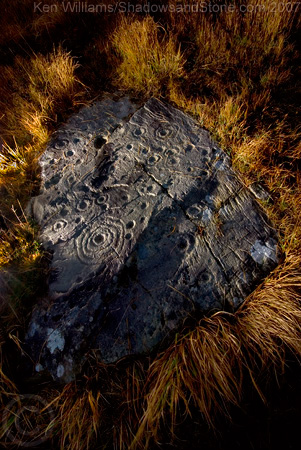
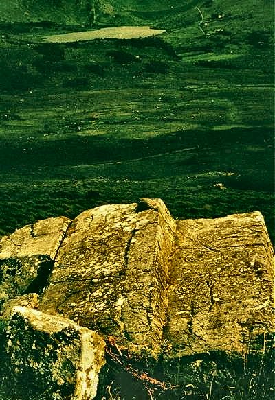
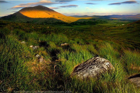
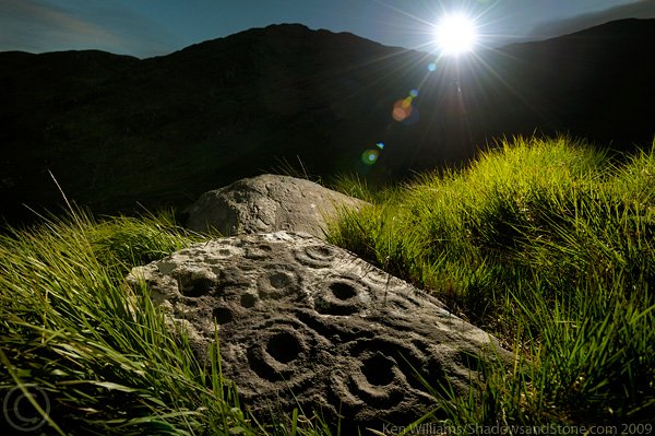
Even if the engravings are difficult to distinguish amongst the lichen, the
views are spectacular.
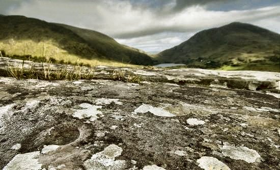
The pictures below (of the same rock) were taken in June 2009.
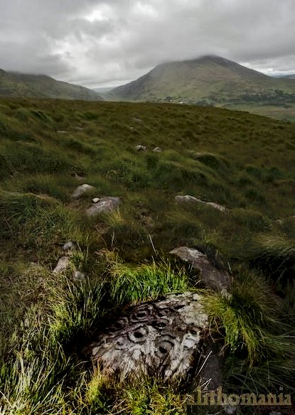
The petroglyphs at V 76144 77393 (GPS) photographed by Tom FourWinds in August 2009.
There are more petroglyphs nearby in the townland of
Derreeny.
