Staigue Bridge, county Kerry
Sheets 83 and 84
Nearest village: Waterville
About 800 metres S of the better-known and well-signposted
Staigue Fort
and about 100 metres E of a disused bridge (beside which the road bends to
the W) is a large outcrop of rock, visible from the bridge.
On it is a fine series of cups and circles and grooves extending for 12 metres
along the rock surface.
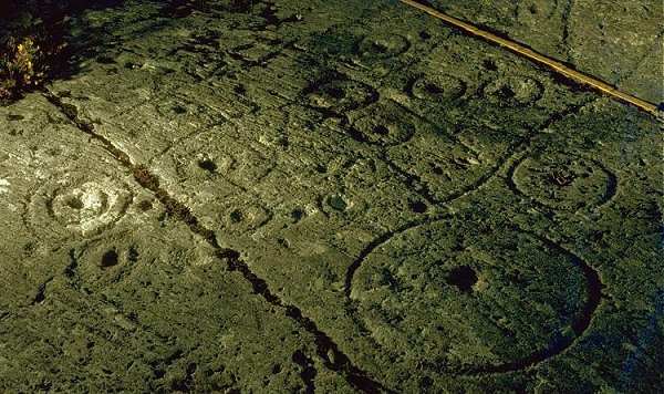
the rule is one metre long
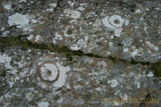
Details taken 26 years later by Ian Thompson, in January 2005.
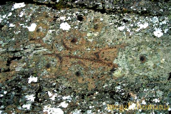
A detail (on another part of the rock) by Ken Williams, taken in May 2008.
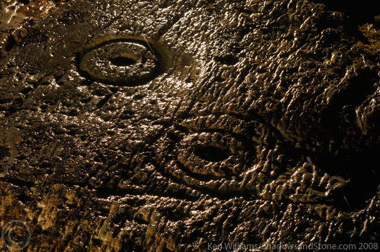
Another part of the outcrop in 2023, also by Ken Williams.