county list
|
Turn smartphone to horizontal
view. SELECTED SITES IN COUNTY KILDARE Place-names in italics refer to listed entries. Convert Irish Grid references to Latitude/Longitude |
|
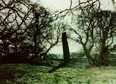
300 metres NNW of the road from Rathcoole to Punchestown (the old Woolpack Road), and 300 metres NNE of Forenaghts church, close to the demesne (estate) wall on private ground at Longstone Rath, this standing-stone is over 5 metres high and weighs some 13 tonnes. It is inside a circular banked enclosure with external ditch. This is not a rath or 'ringfort' (fortified farmstead) but a ceremonial henge. A kist-tomb was found adjoining the rock-cut socket of the monolith.
Kilgowan:
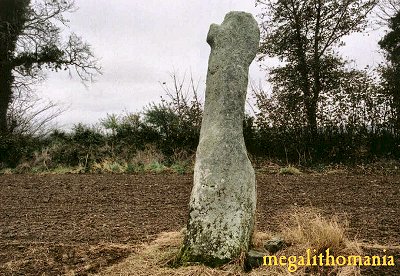
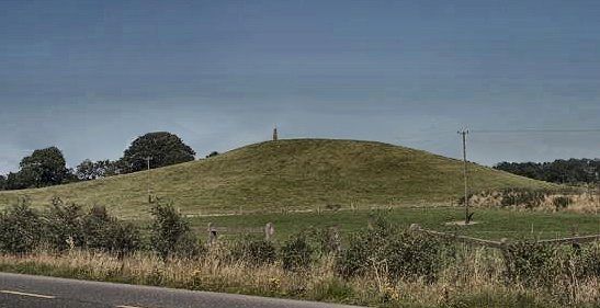
Standing-stone and ritual site The Long Stone is a granite monolith about 2.5 metres high and is unusual among standing stones in that it has been Christianised with a small cross with slightly expanded terminals cut on one face, as well as sitting on top of an artificial mound. Gravel-quarrying threatened its existence in the 1980s, and in October 1986 during bulldozing operations two inhumation burials were exposed at the site, including a human head to the W of the stone, surrounded by flagstones and the scattered remains of other skeletons. Modern bulldozed spoil had been thrown up on either side of a new access route and also down the slope so that no archæological features in situ could be seen, although numerous pieces of bone and flagstones were visible in the spoil.
~ 9.1 km E is a standing-stone at Crehelp, county Wicklow. Mullaghmast:
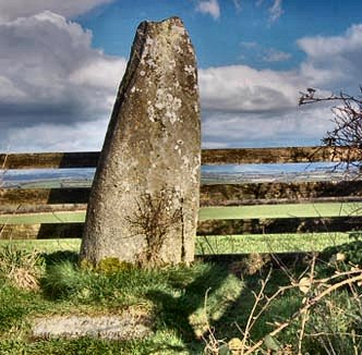
Standing-stone Moved from its original position on the opposite side of the road, this 'Long Stone', on the crest of a hill, is 1.8 metres high and has a groove running down one side, linking it to other grooved stones in Carlow and Wicklow.
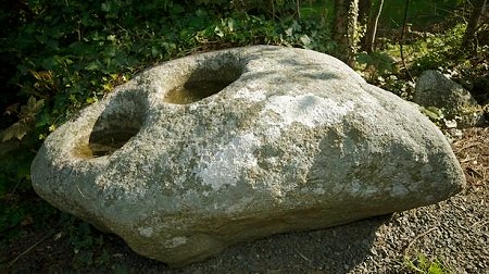
~ 3.5 km SSE, outside the Moone High Cross Hotel at Bolton Hill (S 780 897) is a stone with a single bullaun, 30 cms across, currently used as an ashtray. Next to the bullaun is a hollow reminiscent of a saddle-quern. On the other side of the road, next to a gate, is another boulder with two similar bullauns set at one end. Both stones came from Castledermot.
Two more single-bullaun stones stones are in the paved area behind the wall to the left of the pub as you face the entrance. Punchestown:
Standing-stone
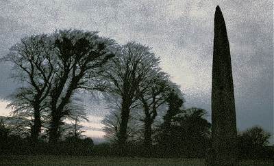
4.5 km SSW of the monolith at Forenaghts Great, to the north of Punchestown racecourse, in a field to the E of a by-road, clearly visible through gaps in the hedge, is a fine tapering monolith which fell in 1931. It was found to be nearly 7 metres long and to weigh 9 tonnes. There was an empty stone kist beside the stone-lined socket, into which "The Long Stone" has now been replaced to stand almost 6 metres high. ~ 800 metres SW, opposite the entrance to the racecourse in Craddockstown West (N 911 163) is another menhir, 4.3 metres high. ~ 2.4 km NNE is the standing-stone at Baltracy (above). ~ 8 km SSE at Broadleas (N 928 075) are "The Piper's Stones", a stone circle of contiguous, low boulders some 30 metres in diameter, not dissimilar to the circle at Kilmakee in county Antrim.
|

