county list
|
Turn smartphone to horizontal
view. SELECTED SITES IN COUNTY WEXFORD Place-names in italics refer to listed entries. Convert Irish Grid references to Latitude/Longitude |
|
Ballybrittas:
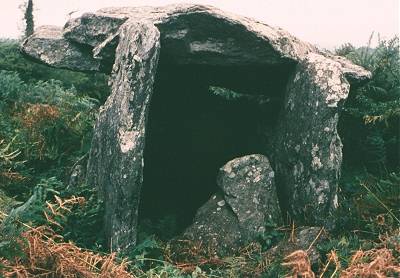
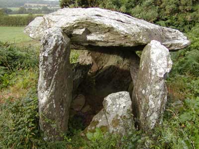
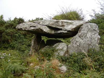
Portal-tomb 4.6 km SSW of Enniscorthy,
300 metres up a lane (now blocked by a veterinary complex) to
the N of the R.127, and to the right, obscured by scrub and
bracken, this fine but lurching tomb has a capstone 3.6 metres
square, supported by portal-stones 1.8 metres high. The large
chamber is partly closed by a broken door-slab 1 metre high.
The monument is similar in situation and type of stone to that
at Kilmogue, Kilkenny, but for the foreseeable future
is best reached with the help of a local guide - or a helicopter!
~ Some
15 km NNE of the Ballybrittas tomb at Killabeg (to the
W of the railway-line at S 991 450) is a nicely-shaped standing-stone
1.8 metres high. Buncarrick:
Standing-stone This is the easiest to find of several granite standing-stones in the area. It is near the southern edge of 'Our Lady's Cemetery' 5 km S of Rosslare Harbour, and is shouldered at the bottom. Standing-stones in graveyards are not unusual in Ireland. ~ 2 km S in Castletown (T 117 053) is another, also standing some 1.5 metres high. ~ 2 km W by N, in the middle of a field in Ballytory (T 092 079) is a slender and leaning example some 2 metres high. Horizontal grooves at the bottom suggest that it is not prehistoric, but quarried more recently using wedges. It might therefore be a scratching-post for cattle. ~ 3 km WSW in Ballymacane (T 072 083), in a rough field about 20 metres from a minor road, beside a modern bungalow, is a damaged pair - the male minus its (presumably phallic) top, the female with a long almost-vertical gash in its W face, and a much smaller one on its E face. Both are now 1.2 metres high and the usual distance apart sufficient to allow cattle to be driven between them for fertility magic: compare Boherboy, county Dublin, Sandville under Cregg, county Derry, Moneyslane under Legananny, county Down, and Tulnacross under Beaghmore, county Tyrone. A series of horizontal striations on the NW corner of the male stone are natural grooves in the quartzite which forms part of the stone, and are not an ogam inscription. ~ 5 km WSW in Ballyboher (T 053 086) is the tallest and most massive of the group at 2.5 metres high. Robinstown
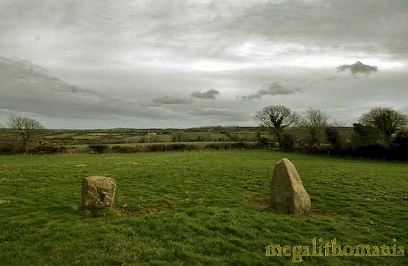
Great: Stone circle Marked "Standing-stones" on the map, this seems to be one of the few "Four-poster" circles in Ireland (see Lettergorman, county Cork). The tallest (NE) stone is around 1.7 metres tall. The western stones are both 1.6 metres and the shortest (SE) stone is just 1.1 metre. The rectangle that they form measures some 5 x 4 metres. To the north are two other stones that make the site a bit confusing, but the four main stones are so obvious as to define the site as a "four poster" with outliers.
Whitechurch:
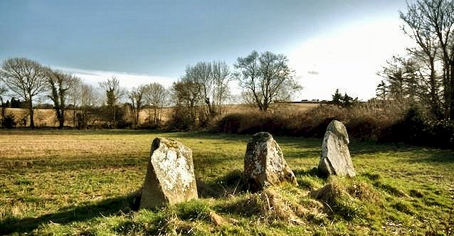
Stone-row 9 km S by W of New Ross, this line of three stones (NE-SW) echoes the profile of Slievecoiltia to the NE. They are in ascending order of height from 1.1 to 1.9 metres. All three stones are of granite containing flecks of quartz. ~
9.1 km NNW is the Portal-tomb at Glencloghlea, county
Kilkenny. |
